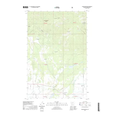
2020 Map of Ovando Mountain
USGS Topo · Published 2020About this map
Lolo National Forest dominates this northern Powell County landscape, where the rugged peaks of McCabe Mtn and Ovando Mtn overlook a complex network of high-altitude drainages. In the northern reaches, McCabe Cr and Dick Cr carve through the timbered slopes, while lower elevations reveal a shift toward early 21st-century agricultural and ranching infrastructure.
Find a feature on this map
46 named features on this map. Tap any name to fly to it.
Don’t see what you’re looking for? This feature index may not catch every label — zoom into the map to look around manually.
Map Details
Editions of this 2020 Ovando Mountain Map
This is the sole edition of this map. No revisions or reprints were ever made.
Other maps of this area
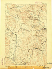
1889 · Helena
USGS Topo · 1:250,000
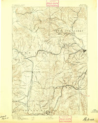
1893 · Helena
USGS Topo · 1:250,000
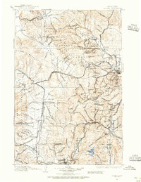
1899 · Helena
USGS Topo · 1:250,000
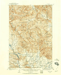
1902 · Ovando
USGS Topo · 1:125,000
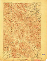
1903 · Coopers Lake
USGS Topo · 1:125,000
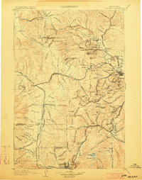
1903 · Helena
USGS Topo · 1:250,000
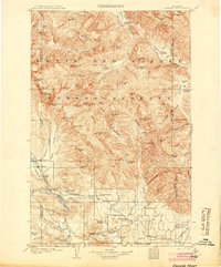
1905 · Ovando
USGS Topo · 1:125,000
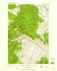
1919 · Drummond
USGS Topo · 1:125,000
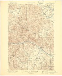
1921 · Drummond
USGS Topo · 1:125,000

1947 · Butte
USGS Topo · 1:250,000