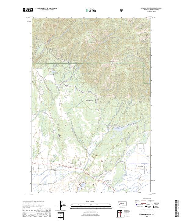
2024 Map of Ovando Mountain
USGS Topo · Published 2024About this map
Ovando serves as the primary settlement in this section of the Blackfoot Valley, where the prairie of Kleinschmidt Flat meets the rising timber of the Lolo National Forest. The landscape is defined by a sophisticated network of irrigation infrastructure, including the Murphy Ditch, Jacobsen Ditch, and Day Ditch, which redirect water across the valley floor to support local ranching.
Find a feature on this map
47 named features on this map. Tap any name to fly to it.
Don’t see what you’re looking for? This feature index may not catch every label — zoom into the map to look around manually.
Map Details
Editions of this 2024 Ovando Mountain Map
This is the sole edition of this map. No revisions or reprints were ever made.
Other maps of this area

1889 · Helena
USGS Topo · 1:250,000

1893 · Helena
USGS Topo · 1:250,000

1899 · Helena
USGS Topo · 1:250,000

1902 · Ovando
USGS Topo · 1:125,000

1903 · Coopers Lake
USGS Topo · 1:125,000

1903 · Helena
USGS Topo · 1:250,000

1905 · Ovando
USGS Topo · 1:125,000

1919 · Drummond
USGS Topo · 1:125,000

1921 · Drummond
USGS Topo · 1:125,000

1947 · Butte
USGS Topo · 1:250,000