
1964 Map of Overbrook
USGS Topo · Published 1965About this map
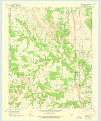
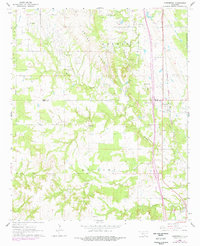
Criner Hills dominate the central landscape of this mid-1960s survey, a rugged terrain where oil wells and gravel pits meet traditional rural settlements. The corridor along the Gulf Colorado and Santa Fe railroad serves as the primary artery for the eastern portion of the map, notably near Overbrook, which sits just west of the Lake Murray State Park Bdy. The rural character of the area is anchored by community landmarks such as Crinnerville Ch and the McAlester Cem. The drainage patterns of Hickory Creek and its tributaries, including Spring Branch and Little Hickory Creek, illustrate the natural topography of Love and Carter Counties. Significant infrastructure development is evident along the eastern edge, with a major roadway marked as under construction during the field check, signaling a period of transition as the region modernized its transportation network.
Find a feature on this map
21 named features on this map. Tap any name to fly to it.
Don’t see what you’re looking for? This feature index may not catch every label — zoom into the map to look around manually.
Map Details
Editions of this 1964 Overbrook Map
3 editions found
Other maps of this area

1901 · Ardmore
USGS Topo · 1:125,000

1902 · Gainesville
USGS Topo · 1:125,000

1918 · Ardmore
USGS Topo · 1:125,000

1943 · Gainesville
USGS Topo · 1:125,000

1954 · Sherman
USGS Topo · 1:250,000

1957 · Ardmore
USGS Topo · 1:250,000

1958 · Sherman
USGS Topo · 1:250,000

1963 · Ardmore
USGS Topo · 1:250,000

1964 · Lake Murray
USGS Topo · 1:24,000

1964 · Ardmore East
USGS Topo · 1:24,000