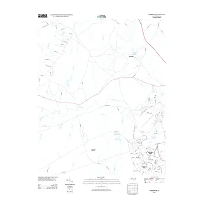
2013 Map of Overhills
USGS Topo · Published 2013About this map
Pope Air Force Base anchors the southeastern landscape of this region, where the military's influence is evident through residential developments with names echoing World War II history. Settlements such as Saint Mere Eglise, Nijmegen, and Cherbourg are situated just north of Hammond Hills, organized around a grid of streets that serve the base personnel. The terrain is defined by the winding course of the Little River and a network of creeks including Cypress Cr, Muddy Cr, and Buffalo Cr.
Find a feature on this map
125 named features on this map. Tap any name to fly to it.
Don’t see what you’re looking for? This feature index may not catch every label — zoom into the map to look around manually.
Map Details
Editions of this 2013 Overhills Map
This is the sole edition of this map. No revisions or reprints were ever made.
Other maps of this area

1948 · Fayetteville
USGS Topo · 1:62,500

1948 · Clifdale
USGS Topo · 1:62,500

1948 · Nicholson Creek
USGS Topo · 1:24,000

1948 · Clifdale
USGS Topo · 1:24,000

1950 · Clifdale
USGS Topo · 1:24,000

1950 · Lobelia
USGS Topo · 1:24,000

1950 · Fayetteville
USGS Topo · 1:24,000

1950 · Manchester
USGS Topo · 1:24,000

1950 · Nicholson Creek
USGS Topo · 1:24,000

1951 · Clifdale
USGS Topo · 1:62,500