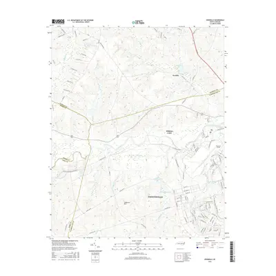
2016 Map of Overhills
USGS Topo · Published 2016About this map
Pope Army Airfield and the sprawling northern reaches of Fayetteville define the landscape in this 2016 survey of the Carolina sandhills. The map captures a transitional zone where military infrastructure and expanding residential neighborhoods meet the natural drainages of the Little River. In the northern section, the settlement of Overhills sits near Overhills Lake, surrounded by a network of timbered ridges and creek valleys including Buffalo Cr and Hector Cr.
Find a feature on this map
101 named features on this map. Tap any name to fly to it.
Don’t see what you’re looking for? This feature index may not catch every label — zoom into the map to look around manually.
Map Details
Editions of this 2016 Overhills Map
This is the sole edition of this map. No revisions or reprints were ever made.
Other maps of this area

1948 · Fayetteville
USGS Topo · 1:62,500

1948 · Clifdale
USGS Topo · 1:62,500

1948 · Nicholson Creek
USGS Topo · 1:24,000

1948 · Clifdale
USGS Topo · 1:24,000

1950 · Clifdale
USGS Topo · 1:24,000

1950 · Lobelia
USGS Topo · 1:24,000

1950 · Fayetteville
USGS Topo · 1:24,000

1950 · Manchester
USGS Topo · 1:24,000

1950 · Nicholson Creek
USGS Topo · 1:24,000

1951 · Clifdale
USGS Topo · 1:62,500