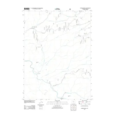
2012 Map of Overlook Hill
USGS Topo · Published 2012About this map
The N Platte River winds through this Carbon County landscape, defining a region where water management and ranching are central to the terrain. Historic ranching operations like the A Bar A Ranch and French Creek Ranch mark the valley floors, while the presence of the Hubbell Ditch and Anderson Ditch reveals the engineering required to support agriculture in this high-elevation environment. The map details a network of named drainages, including Savage Run Cr, Mullen Cr, and Sourdough Cr, which flow toward the primary river channel.
Find a feature on this map
26 named features on this map. Tap any name to fly to it.
Don’t see what you’re looking for? This feature index may not catch every label — zoom into the map to look around manually.
Map Details
Editions of this 2012 Overlook Hill Map
This is the sole edition of this map. No revisions or reprints were ever made.
Other maps of this area
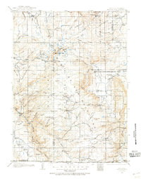
1906 · Medicine Bow
USGS Topo · 1:125,000
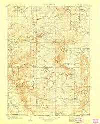
1908 · Medicine Bow
USGS Topo · 1:125,000
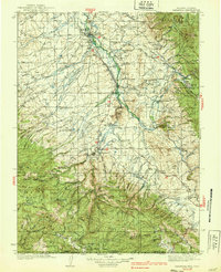
1939 · Saratoga
USGS Topo · 1:125,000

1954 · Rawlins
USGS Topo · 1:250,000
1958 · Rawlins
USGS Topo · 1:250,000
1961 · Elkhorn Point
USGS Topo · 1:24,000
1961 · Overlook Hill
USGS Topo · 1:24,000
1961 · Ryan Park
USGS Topo · 1:24,000
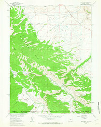
1961 · Trent Creek
USGS Topo · 1:24,000
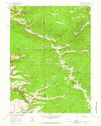
1961 · Horatio Rock
USGS Topo · 1:24,000