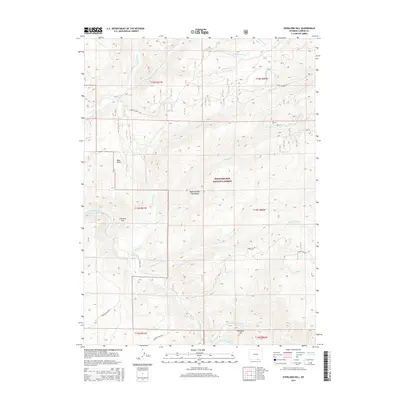
2015 Map of Overlook Hill
USGS Topo · Published 2015About this map
The Medicine Bow Mountains dominate this high-altitude landscape within the Medicine Bow National Forest, where steep drainages and timbered ridges define the terrain. The North Platte River cuts through the southwestern section, fed by a network of high-country streams including French Cr, Douglas Creek, and Savage Run Cr. This 2015 survey illustrates the modern management of these public lands, showing the established system of forest roads such as French Creek Rd and Boat Creek Rd that provide access for recreation and natural resource oversight. Named high points like Overlook Hill and Stovepipe Hill stand as significant landmarks for navigation. Traces of historical land use appear in labels like Hubbell Ditch and Bear Gulch, indicating earlier attempts to divert water and manage the local geography for mining or agriculture in this demanding environment.
Find a feature on this map
32 named features on this map. Tap any name to fly to it.
Don’t see what you’re looking for? This feature index may not catch every label — zoom into the map to look around manually.
Map Details
Editions of this 2015 Overlook Hill Map
This is the sole edition of this map. No revisions or reprints were ever made.
Other maps of this area
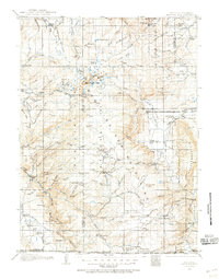
1906 · Medicine Bow
USGS Topo · 1:125,000
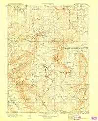
1908 · Medicine Bow
USGS Topo · 1:125,000
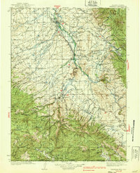
1939 · Saratoga
USGS Topo · 1:125,000

1954 · Rawlins
USGS Topo · 1:250,000
1958 · Rawlins
USGS Topo · 1:250,000
1961 · Elkhorn Point
USGS Topo · 1:24,000
1961 · Overlook Hill
USGS Topo · 1:24,000
1961 · Ryan Park
USGS Topo · 1:24,000
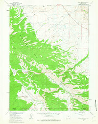
1961 · Trent Creek
USGS Topo · 1:24,000
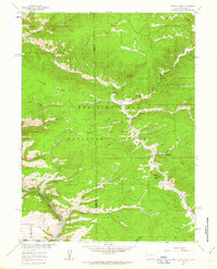
1961 · Horatio Rock
USGS Topo · 1:24,000