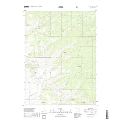
2017 Map of Overlook Hill
USGS Topo · Published 2017About this map
The Medicine Bow National Forest dominates this section of Carbon County, where the high-altitude terrain of the Medicine Bow Mountains is carved by a dense network of drainages and seasonal creeks. The North Platte River cuts through the western portion of the quadrangle, serving as a primary hydrological focal point alongside Douglas Creek in the southeast. Historical land management and resource access are evidenced by the presence of French Creek Rd and various secondary routes like Charles Draw Rd.
Find a feature on this map
29 named features on this map. Tap any name to fly to it.
Don’t see what you’re looking for? This feature index may not catch every label — zoom into the map to look around manually.
Map Details
Editions of this 2017 Overlook Hill Map
This is the sole edition of this map. No revisions or reprints were ever made.
Other maps of this area
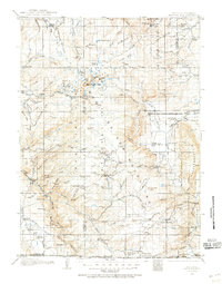
1906 · Medicine Bow
USGS Topo · 1:125,000
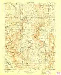
1908 · Medicine Bow
USGS Topo · 1:125,000
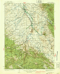
1939 · Saratoga
USGS Topo · 1:125,000

1954 · Rawlins
USGS Topo · 1:250,000
1958 · Rawlins
USGS Topo · 1:250,000
1961 · Elkhorn Point
USGS Topo · 1:24,000
1961 · Overlook Hill
USGS Topo · 1:24,000
1961 · Ryan Park
USGS Topo · 1:24,000
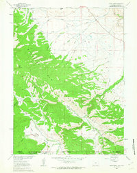
1961 · Trent Creek
USGS Topo · 1:24,000
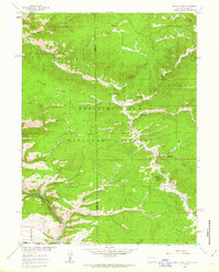
1961 · Horatio Rock
USGS Topo · 1:24,000