
1958 Map of Overton
USGS Topo · Published 1960About this map
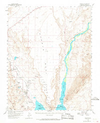
Overton and Logandale anchor this Mojave Desert landscape during a period of transition in water management and transportation. The Union Pacific railroad line cuts through the valley, serving small settlements like Glassand and the northern reaches of Mead Lake. The map reveals the intricate network of desert washes such as Mormon Wash and Logan Wash draining the expansive Mormon Mesa toward the Muddy River. At the base of the Virgin Mountains, the Virgin River flows through the Lake Mead National Recreation Area, reflecting the region's importance for both conservation and resource control. Local history is preserved through labels like the Overton Museum and Bowman Reservoir, while the presence of Amber and Kaolin indicates the area's geological and early settlement roots in the Clark County desert.
Find a feature on this map
34 named features on this map. Tap any name to fly to it.
Don’t see what you’re looking for? This feature index may not catch every label — zoom into the map to look around manually.
Map Details
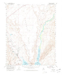
Editions of this 1958 Overton Map
3 editions found
Other maps of this area

1886 · Saint Thomas
USGS Topo · 1:250,000

1893 · Saint Thomas
USGS Topo · 1:250,000

1926 · Bonelli
USGS Topo · 1:96,000

1926 · Boulder Canyon
USGS Topo · 1:96,000

1953 · Muddy Peak
USGS Topo · 1:62,500

1953 · Overton Beach
USGS Topo · 1:62,500

1953 · Gold Butte
USGS Topo · 1:62,500

1954 · Las Vegas
USGS Topo · 1:250,000

1957 · Las Vegas
USGS Topo · 1:250,000

1957 · Mesquite
USGS Topo · 1:62,500