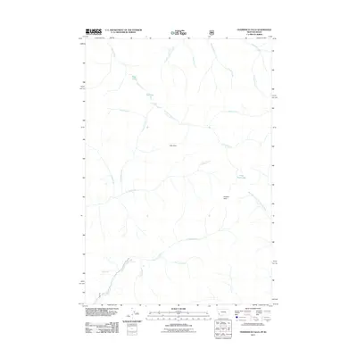
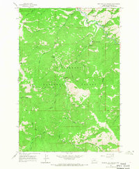
2011 Map of Overwhich Falls
USGS Topo · Published 2011About this map
Overwhich Falls serves as the centerpiece of this mountainous landscape along the Montana-Idaho border. The 2011 survey documents a high-altitude wilderness defined by the complex drainage systems of Overwhich Creek and Hughes Creek. Water features dominate the geography, from the alpine seclusion of Capri Lake and Pass Lake to the meandering headwaters of the West Fork North Fork Salmon River.
Find a feature on this map
23 named features on this map. Tap any name to fly to it.
Don’t see what you’re looking for? This feature index may not catch every label — zoom into the map to look around manually.
Map Details
Editions of this 2011 Overwhich Falls Map
This is the sole edition of this map. No revisions or reprints were ever made.
Other maps of this area

1955 · Dillon
USGS Topo · 1:250,000

1956 · Elk City
USGS Topo · 1:250,000

1957 · Dillon
USGS Topo · 1:250,000

1958 · Dillon
USGS Topo · 1:250,000

1960 · Elk City
USGS Topo · 1:250,000
1960 · Piquett Mountain
USGS Topo · 1:62,500

1962 · Dillon
USGS Topo · 1:250,000
1964 · Piquett Creek
USGS Topo · 1:24,000
1965 · Dillon
USGS Topo · 1:250,000
1965 · Medicine Hot Springs
USGS Topo · 1:24,000