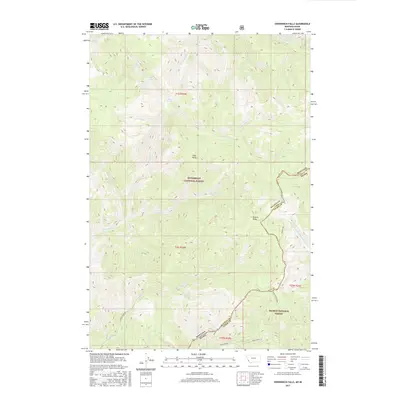
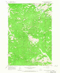
2017 Map of Overwhich Falls
USGS Topo · Published 2017About this map
The Montana-Idaho state line bisects this high-elevation mountain terrain, marking the boundary between the Bitterroot National Forest to the north and the Salmon National Forest to the south. This divide also serves as the border between Ravalli County and Lemhi County, following the crest of the Divide NRT. Waterways flow in divergent directions from this spine, with Overwhich Creek and Warm Springs Creek draining northward, while the West Fork North Fork Salmon River and Hughes Creek descend toward the Idaho side.
Find a feature on this map
70 named features on this map. Tap any name to fly to it.
Don’t see what you’re looking for? This feature index may not catch every label — zoom into the map to look around manually.
Map Details
Editions of this 2017 Overwhich Falls Map
This is the sole edition of this map. No revisions or reprints were ever made.
Other maps of this area

1955 · Dillon
USGS Topo · 1:250,000

1956 · Elk City
USGS Topo · 1:250,000

1957 · Dillon
USGS Topo · 1:250,000

1958 · Dillon
USGS Topo · 1:250,000

1960 · Elk City
USGS Topo · 1:250,000
1960 · Piquett Mountain
USGS Topo · 1:62,500

1962 · Dillon
USGS Topo · 1:250,000
1964 · Piquett Creek
USGS Topo · 1:24,000
1965 · Dillon
USGS Topo · 1:250,000
1965 · Medicine Hot Springs
USGS Topo · 1:24,000