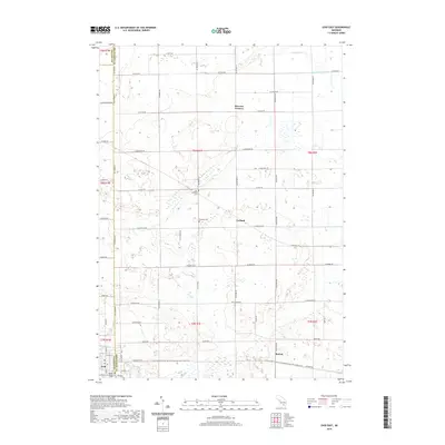
2019 Map of Ovid East
USGS Topo · Published 2019About this map
Agricultural lands and rural crossroads define this portion of Michigan, where the boundaries of Clinton, Shiawassee, and Gratiot Counties converge. The village of Ovid sits at the southwestern edge, connected to the hamlets of Carland and Burton by a network of sectional roads and the modern Fred Meijer Clinton-Ionia-Shiawassee (CIS) State Trail. This trail follows a historical rail corridor that once served the grain-producing heartland. Small family-linked landmarks like Hoovers Corners and several burial grounds, including Maple Grove Cem and the Old Fairfield Cem, offer points of interest for genealogists tracing local families. The landscape is drained by slow-moving watercourses such as Lamb Cr and Baker Cr, which wind through the township grids and define the low-lying terrain outside the primary settlements.
Find a feature on this map
58 named features on this map. Tap any name to fly to it.
Don’t see what you’re looking for? This feature index may not catch every label — zoom into the map to look around manually.
Map Details
Editions of this 2019 Ovid East Map
This is the sole edition of this map. No revisions or reprints were ever made.
Other maps of this area

1917 · Chesaning
USGS Topo · 1:62,500

1918 · Elsie
USGS Topo · 1:62,500

1926 · Corunna
USGS Topo · 1:62,500

1928 · Laingsburg
USGS Topo · 1:62,500

1929 · Corunna
USGS Topo · 1:62,500

1943 · Chesaning
USGS Topo · 1:62,500

1943 · Elsie
USGS Topo · 1:62,500

1944 · Laingsburg
USGS Topo · 1:62,500

1944 · Corunna
USGS Topo · 1:62,500

1954 · Midland
USGS Topo · 1:250,000