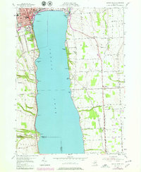
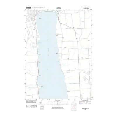
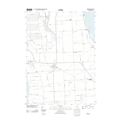
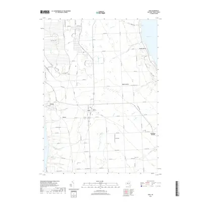
1970 Map of Ovid
USGS Topo · Published 1989About this map
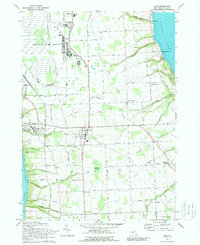
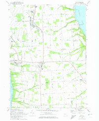
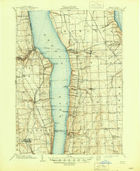
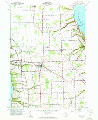
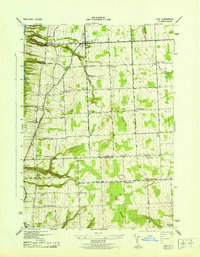
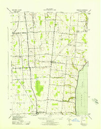
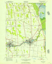
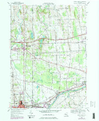
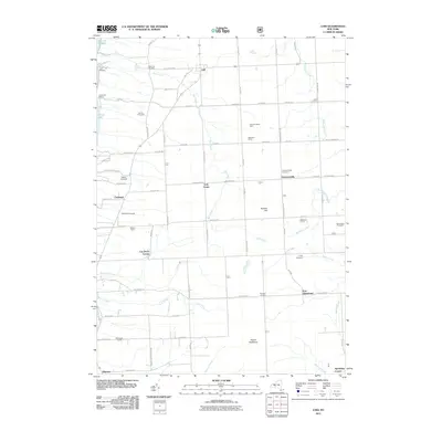
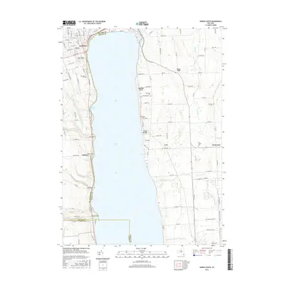
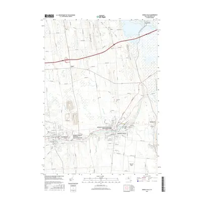
Seneca Army Depot dominates the northern reaches of this Finger Lakes landscape, illustrating the significant military footprint in Seneca County during the late twentieth century. Centered between the deep waters of Seneca Lake and Cayuga Lake, the map documents a transition from the agricultural heritage of Ovid and Romulus to specialized institutional land use. The extensive facilities at Willard State Hospital occupy a prominent position on the western shore, while the Lehigh Valley Railroad corridor provides a glimpse into the regional transport network. Genealogists will find a dense concentration of burial grounds, including the Holy Cross Cem (Union Cem), McNeal Cem, and Covert Cem. From the coastal reach of Poplar Beach to the interior wetlands of Bilberry Swamp, this survey provides a look at the varied terrain and settlement patterns of this central New York peninsula.
Find a feature on this map
51 named features on this map. Tap any name to fly to it.
Don’t see what you’re looking for? This feature index may not catch every label — zoom into the map to look around manually.
Map Details
Editions of this 1970 Ovid Map
2 editions found
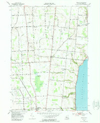
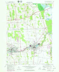
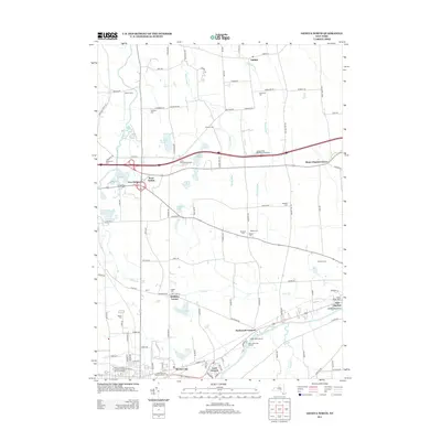
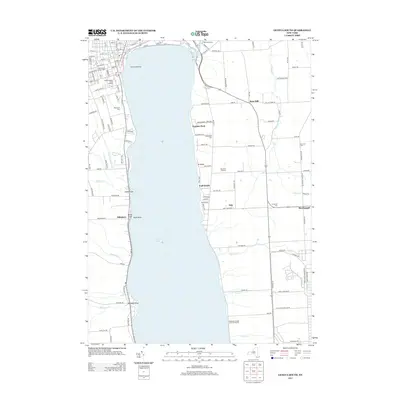
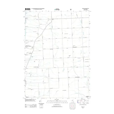
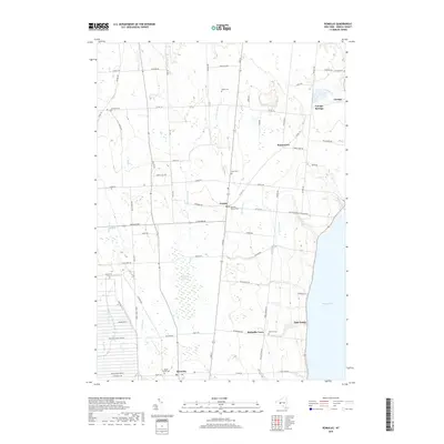
Historical Maps of Romulus Through Time
43 maps found
1902 Ovid
Seneca County, NY

1942 Lodi
Seneca County, NY
1942 Ovid
Seneca County, NY

1943 Geneva North
Seneca County, NY

1943 Geneva South
Seneca County, NY
1943 Lodi
Seneca County, NY
1943 Romulus
Seneca County, NY
1943 Seneca Falls
Seneca County, NY
1953 Geneva North
Seneca County, NY
1953 Geneva South
Seneca County, NY
1953 Romulus
Seneca County, NY
1953 Seneca Falls
Seneca County, NY
1970 Ovid
Seneca County, NY
2010 Geneva North
Seneca County, NY
2010 Geneva South
Seneca County, NY
2010 Ovid
Seneca County, NY
2010 Romulus
Seneca County, NY
2010 Seneca Falls
Seneca County, NY
2011 Lodi
Seneca County, NY
2013 Geneva North
Seneca County, NY
2013 Geneva South
Seneca County, NY
2013 Lodi
Seneca County, NY
2013 Ovid
Seneca County, NY
2013 Romulus
Seneca County, NY
2013 Seneca Falls
Seneca County, NY
2016 Geneva North
Seneca County, NY
2016 Geneva South
Seneca County, NY
2016 Lodi
Seneca County, NY
2016 Ovid
Seneca County, NY
2016 Romulus
Seneca County, NY
2016 Seneca Falls
Seneca County, NY
2019 Geneva North
Seneca County, NY
2019 Geneva South
Seneca County, NY
2019 Lodi
Seneca County, NY
2019 Ovid
Seneca County, NY
2019 Romulus
Seneca County, NY
2019 Seneca Falls
Seneca County, NY

2023 Geneva North
Seneca County, NY

2023 Geneva South
Seneca County, NY

2023 Lodi
Seneca County, NY

2023 Ovid
Seneca County, NY

2023 Romulus
Seneca County, NY

2023 Seneca Falls
Seneca County, NY