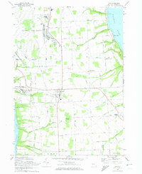
1970 Map of Ovid
USGS Topo · Published 1974About this map
The Seneca Army Depot dominates the northern reaches of this landscape between Cayuga Lake and Seneca Lake, with its extensive grid of bunkers and the adjacent Seneca Army Airfield. This military presence contrasts with the agrarian character of the surrounding townships of Romulus and Ovid, where family-named roads like Yerkes Road and Bromka Road connect scattered settlements. The rail-and-water economy of the era is evident in the path of the Lehigh Valley Railroad as it skirts the shore of Seneca Lake near Willard and the Willard State Hospital.
Find a feature on this map
56 named features on this map. Tap any name to fly to it.
Don’t see what you’re looking for? This feature index may not catch every label — zoom into the map to look around manually.
Map Details
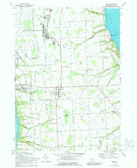
Editions of this 1970 Ovid Map
2 editions found
Other maps of this area

1899 · Auburn
USGS Topo · 1:62,500

1902 · Geneva
USGS Topo · 1:62,500

1902 · Genoa
USGS Topo · 1:62,500

1902 · Ovid
USGS Topo · 1:62,500

1902 · Auburn
USGS Topo · 1:62,500

1942 · Ovid
USGS Topo · 1:31,680

1942 · Dundee
USGS Topo · 1:24,000

1942 · Lodi
USGS Topo · 1:24,000

1942 · Sheldrake
USGS Topo · 1:24,000

1942 · Trumansburg
USGS Topo · 1:24,000