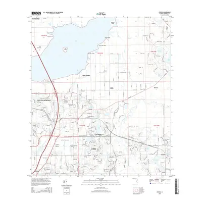
2015 Map of Oviedo
USGS Topo · Published 2015About this map
The Econlockhatchee River and its little fork wind through this part of Seminole County, defining a landscape where wetlands meet suburban expansion. To the north, the waters of Lake Jesup dominate the horizon, shaped by landforms like Marl Bed Point and Long Point. The area around Oviedo and Winter Springs shows a dense network of residential developments and lakes, including Lake Charm and Long Lake, while the Florida National Scenic Trail provides a recreational corridor through the terrain.
Find a feature on this map
52 named features on this map. Tap any name to fly to it.
Don’t see what you’re looking for? This feature index may not catch every label — zoom into the map to look around manually.
Map Details
Editions of this 2015 Oviedo Map
This is the sole edition of this map. No revisions or reprints were ever made.
Other maps of this area

1949 · Osceola
USGS Topo · 1:24,000

1953 · Geneva
USGS Topo · 1:24,000

1953 · Oviedo SW
USGS Topo · 1:24,000

1953 · Bithlo
USGS Topo · 1:24,000

1955 · Orlando
USGS Topo · 1:250,000

1956 · Oviedo
USGS Topo · 1:24,000

1956 · Orlando East
USGS Topo · 1:24,000

1957 · Orlando
USGS Topo · 1:250,000

1958 · Orlando
USGS Topo · 1:250,000

1962 · Orlando
USGS Topo · 1:250,000