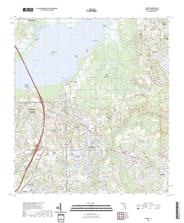
2024 Map of Oviedo
USGS Topo · Published 2024About this map
The Oviedo area, positioned at the southern reaches of Lake Jesup, is defined by a low-lying landscape of hammocks, sloughs, and numerous interior lakes. The town centers of Winter Springs and Oviedo show a dense modern street grid, while outlying areas like Slavia and Chuluota maintain a more dispersed character. Local history is anchored by several long-standing burial grounds, including the Oviedo Cem, Boston Hill Cem, and Saint Lukes Cem. The hydrology is particularly intricate, with the Little Econlockhatchee River and Econlockhatchee River carving paths through the terrain alongside distinctive features like Black Hammock and Marl Bed Flats. This topography illustrates the transition from the lakefront marshlands of Marl Bed Point to the settled higher ground of the Seminole County interior.
Find a feature on this map
96 named features on this map. Tap any name to fly to it.
Don’t see what you’re looking for? This feature index may not catch every label — zoom into the map to look around manually.
Map Details
Editions of this 2024 Oviedo Map
This is the sole edition of this map. No revisions or reprints were ever made.
Other maps of this area

1949 · Osceola
USGS Topo · 1:24,000

1953 · Geneva
USGS Topo · 1:24,000

1953 · Oviedo SW
USGS Topo · 1:24,000

1953 · Bithlo
USGS Topo · 1:24,000

1955 · Orlando
USGS Topo · 1:250,000

1956 · Oviedo
USGS Topo · 1:24,000

1956 · Orlando East
USGS Topo · 1:24,000

1957 · Orlando
USGS Topo · 1:250,000

1958 · Orlando
USGS Topo · 1:250,000

1962 · Orlando
USGS Topo · 1:250,000