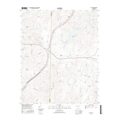
2016 Map of Ovilla
USGS Topo · Published 2016About this map
Laurel Hill Lake sits at the center of this 2016 survey, where the waters of Voorhies Branch and Galloway Branch converge. The landscape is defined by the winding course of the Natchez Trace Pkwy and National Scenic Trail, which cuts diagonally across the western hills through Highland. This area along the Wayne and Lawrence County line is heavily dissected by narrow valleys such as Murphy Hollow and Raburn Hollow.
Find a feature on this map
97 named features on this map. Tap any name to fly to it.
Don’t see what you’re looking for? This feature index may not catch every label — zoom into the map to look around manually.
Map Details
Editions of this 2016 Ovilla Map
This is the sole edition of this map. No revisions or reprints were ever made.
Other maps of this area
1905 · Waynesboro
USGS Topo · 1:125,000
1936 · Riverside
USGS Topo · 1:24,000
1936 · Westpoint
USGS Topo · 1:24,000
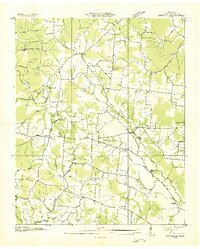
1936 · Deerfield
USGS Topo · 1:24,000
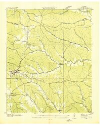
1936 · Collinwood
USGS Topo · 1:24,000
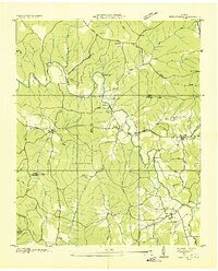
1936 · Henryville
USGS Topo · 1:24,000
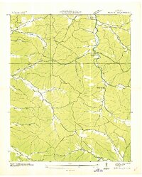
1936 · Negro Hollow
USGS Topo · 1:24,000
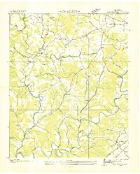
1936 · Long Branch
USGS Topo · 1:24,000
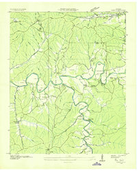
1936 · Topsy
USGS Topo · 1:24,000
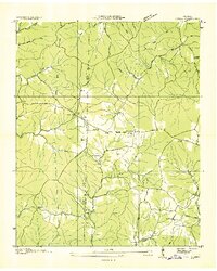
1936 · Ovilla
USGS Topo · 1:24,000