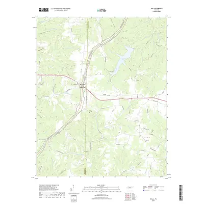
2019 Map of Ovilla
USGS Topo · Published 2019About this map
The Natchez Trace Parkway bisects this landscape, tracing a historical corridor through the borderlands of Wayne and Lawrence counties. The settlement of Ovilla sits along the Scenic Dr corridor, serving as a central point in an area defined by deep drainage basins and hollows. The eastern portion of the map is dominated by the extensive waters of Laurel Hill Lake, which is fed by Galloway Br and Voorhies Br, before its waters eventually contribute to the Little Buffalo River system in the northeast.
Find a feature on this map
94 named features on this map. Tap any name to fly to it.
Don’t see what you’re looking for? This feature index may not catch every label — zoom into the map to look around manually.
Map Details
Editions of this 2019 Ovilla Map
This is the sole edition of this map. No revisions or reprints were ever made.
Other maps of this area
1905 · Waynesboro
USGS Topo · 1:125,000
1936 · Riverside
USGS Topo · 1:24,000
1936 · Westpoint
USGS Topo · 1:24,000
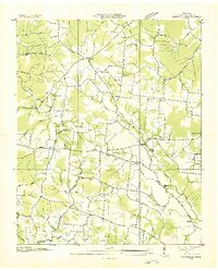
1936 · Deerfield
USGS Topo · 1:24,000
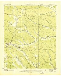
1936 · Collinwood
USGS Topo · 1:24,000
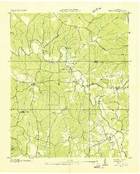
1936 · Henryville
USGS Topo · 1:24,000
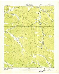
1936 · Negro Hollow
USGS Topo · 1:24,000
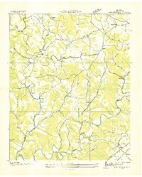
1936 · Long Branch
USGS Topo · 1:24,000
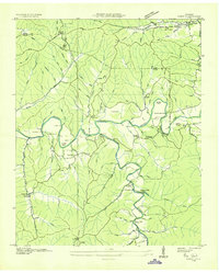
1936 · Topsy
USGS Topo · 1:24,000
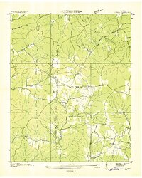
1936 · Ovilla
USGS Topo · 1:24,000