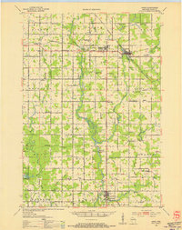
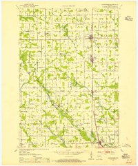
1953 Map of Owen
USGS Topo · Published 1955About this map
The Black River and Eau Claire River systems define the rural character of Clark County in the mid-1950s, a landscape deeply divided by the Minneapolis St Paul and Sault Ste Marie Railroad. The rail line connects the primary hubs of Owen and Withee, while the surrounding townships are dotted with the essential social markers of 20th-century agrarian life. A dense network of one-room schools, such as Hoard Center Sch and Maple Center Sch, remains alongside numerous country churches like Trondjem Ch and Bethany Ch.
Find a feature on this map
81 named features on this map. Tap any name to fly to it.
Don’t see what you’re looking for? This feature index may not catch every label — zoom into the map to look around manually.
Map Details
Editions of this 1953 Owen Map
This is the sole edition of this map. No revisions or reprints were ever made.
Other maps of this area
1948 · Fairchild
USGS Topo · 1:62,500
1949 · Fairchild
USGS Topo · 1:62,500
1951 · Lublin
USGS Topo · 1:48,000
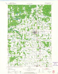
1951 · Medford
USGS Topo · 1:48,000
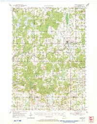
1951 · Gilman
USGS Topo · 1:62,500
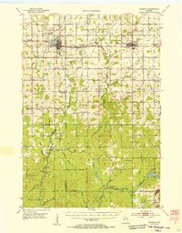
1952 · Stanley
USGS Topo · 1:62,500
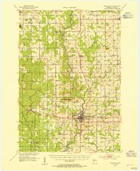
1953 · Neillsville
USGS Topo · 1:62,500
1953 · Abbotsford
USGS Topo · 1:48,000

1953 · Eau Claire
USGS Topo · 1:250,000

1953 · Rice Lake
USGS Topo · 1:250,000