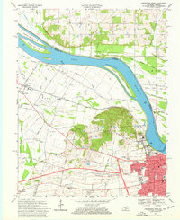
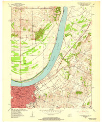
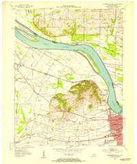
1968 Map of Owensboro West
USGS Topo · Published 1969About this map
The Ohio River defines the northern edge of this landscape, separating the industrial and agricultural lands of Daviess County from Indiana. The western reaches of Owensboro are visible in transition, where established neighborhoods near Moreland Park and the Armory give way to the Bon Harbor Hills and the winding Audubon Parkway. Along the river, infrastructure like Lock and Dam No 46 and numerous oil wells scattered through the lowlands near Cowhide Slough indicate an economy rooted in both transport and extraction. Rural life is anchored by smaller hubs like Stanley and Sorgho, along with local landmarks such as St Peters Sch and the Pleasant Grove Ch. The presence of the Soap Box Derby Racetrack near the Claypit Kilns provides a look at the community's mid-century recreation and local industry.
Find a feature on this map
91 named features on this map. Tap any name to fly to it.
Don’t see what you’re looking for? This feature index may not catch every label — zoom into the map to look around manually.
Map Details
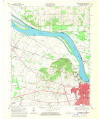
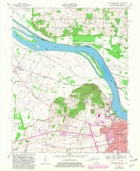
Editions of this 1968 Owensboro West Map
Other maps of this area

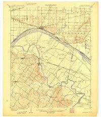
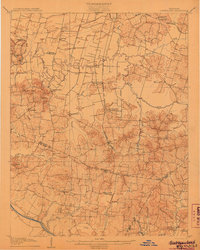
1901 · Owensboro
USGS Topo · 1:62,500
1905 · Newburg
USGS Topo · 1:62,500
1906 · Sutherland
USGS Topo · 1:62,500

1908 · Calhoun
USGS Topo · 1:62,500
1951 · Yankeetown
USGS Topo · 1:24,000
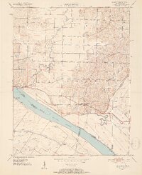
1952 · Owensboro East
USGS Topo · 1:24,000
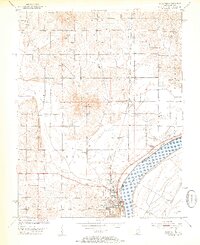
1952 · Rockport
USGS Topo · 1:24,000
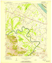
1952 · Owensboro West
USGS Topo · 1:24,000
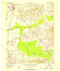
1952 · Reed
USGS Topo · 1:24,000
1953 · Sutherland
USGS Topo · 1:24,000