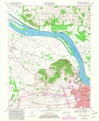
1968 Map of Owensboro West
USGS Topo · Published 1981About this map
The Ohio River dominates this landscape, winding past Little Hurricane Island and the substantial French Island No 1 as it separates Kentucky from Indiana. On the Kentucky side, the city of Owensboro expands westward toward the Bon Harbor Hills, where the terrain rises sharply above the floodplains of Cowhide Slough and Katie Meadow Slough. This 1960s survey captures a transition in land use, showing industrial features like kilns and a claypit alongside mid-century recreation spots like a Soap Box Derby Racetrack and a Drive-in Theater.
Find a feature on this map
56 named features on this map. Tap any name to fly to it.
Don’t see what you’re looking for? This feature index may not catch every label — zoom into the map to look around manually.
Map Details
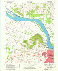
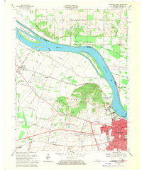
Editions of this 1968 Owensboro West Map
Other maps of this area

1901 · Owensboro
USGS Topo · 1:62,500

1905 · Newburg
USGS Topo · 1:62,500

1906 · Sutherland
USGS Topo · 1:62,500

1908 · Calhoun
USGS Topo · 1:62,500

1951 · Yankeetown
USGS Topo · 1:24,000

1952 · Owensboro East
USGS Topo · 1:24,000

1952 · Rockport
USGS Topo · 1:24,000

1952 · Owensboro West
USGS Topo · 1:24,000

1952 · Reed
USGS Topo · 1:24,000

1953 · Sutherland
USGS Topo · 1:24,000