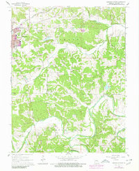
1966 Map of Owensville East
USGS Topo · Published 1980About this map
Owensville serves as the primary urban center for this 1960s study, its residential expansion traced along Washington Ave and Madison Ave. The town’s industrial character is defined by the Chicago Rock Island and Pacific railroad and a landscape dotted with numerous Claypit and Claypits sites, indicating the importance of regional extractive industries. Beyond the town limits, the terrain transitions into the valleys of Red Oak Creek and the winding Bourbeuse River.
Find a feature on this map
37 named features on this map. Tap any name to fly to it.
Don’t see what you’re looking for? This feature index may not catch every label — zoom into the map to look around manually.
Map Details
Editions of this 1966 Owensville East Map
2 editions found
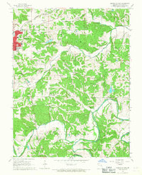
Other maps of this area

1903 · Sullivan
USGS Topo · 1:125,000

1934 · Bland
USGS Topo · 1:62,500

1934 · Redbird
USGS Topo · 1:62,500

1935 · Gerald
USGS Topo · 1:48,000

1937 · Bland
USGS Topo · 1:62,500

1938 · Redbird
USGS Topo · 1:62,500

1941 · Gerald
USGS Topo · 1:62,500

1944 · Gerald
USGS Topo · 1:62,500

1948 · Argo
USGS Topo · 1:24,000

1948 · Oak Hill
USGS Topo · 1:24,000