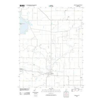
2010 Map of Owensville
USGS Topo · Published 2010About this map
Owensville serves as the central hub of this Gibson County landscape, where a dense grid of rural roads connects scattered farming communities and historical family sites. The surrounding countryside is defined by a network of drainage runs and creeks, including Skelton Creek, Mauck Run, and Barren Creek, illustrating the complex water management required for the region's agricultural productivity. To the northwest, the industrial presence of the Gibson Public Service Generation Plant Dam stands in contrast to the traditional rural character of the area. For those tracing local heritage, the map is a vital resource for locating ancestral resting places, specifically naming Sand Hill Cemetery, Mauck Cemetery, Skelton Cemetery, and Clark Cemetery. Small settlements like Johnson, Lyles, and Sand Hill are clearly marked, providing a clear picture of the settlement patterns in southwest Indiana during the early 21st century.
Find a feature on this map
46 named features on this map. Tap any name to fly to it.
Don’t see what you’re looking for? This feature index may not catch every label — zoom into the map to look around manually.
Map Details
Editions of this 2010 Owensville Map
This is the sole edition of this map. No revisions or reprints were ever made.
Other maps of this area

1901 · Princeton
USGS Topo · 1:62,500

1901 · Haubstadt
USGS Topo · 1:62,500

1903 · Haubstadt
USGS Topo · 1:62,500

1903 · New Harmony
USGS Topo · 1:62,500

1903 · Princeton
USGS Topo · 1:62,500

1903 · Patoka
USGS Topo · 1:125,000

1904 · Mount Carmel
USGS Topo · 1:62,500

1938 · New Harmony
USGS Topo · 1:62,500

1956 · Vincennes
USGS Topo · 1:250,000

1957 · Vincennes
USGS Topo · 1:250,000