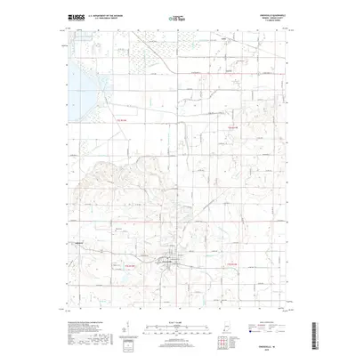
2019 Map of Owensville
USGS Topo · Published 2019About this map
Owensville serves as the primary hub of this Gibson County landscape, where the grid of town streets meets an extensive system of agricultural drainage. The area's history is preserved in several local burial sites, including Owensville Cem, Sand Hill Cem, and the remote Mauck Cem. To the north, the small settlement of Lyles sits near Sand Hill, while Johnson occupies the western edge of the quadrangle. The terrain is defined by a sophisticated network of managed waterways like McCarty Ditch, Blair Ditch, and Lillard Ditch, which converted former wetlands into productive farmland. Elements of the original hydrology remain visible at Broad Pond and Coffee Bayou, contrasting with the engineered precision of the Watson Lateral and the various runs that feed into the V Fork Pigeon Cr.
Find a feature on this map
70 named features on this map. Tap any name to fly to it.
Don’t see what you’re looking for? This feature index may not catch every label — zoom into the map to look around manually.
Map Details
Editions of this 2019 Owensville Map
This is the sole edition of this map. No revisions or reprints were ever made.
Other maps of this area

1901 · Princeton
USGS Topo · 1:62,500

1901 · Haubstadt
USGS Topo · 1:62,500

1903 · Haubstadt
USGS Topo · 1:62,500

1903 · New Harmony
USGS Topo · 1:62,500

1903 · Princeton
USGS Topo · 1:62,500

1903 · Patoka
USGS Topo · 1:125,000

1904 · Mount Carmel
USGS Topo · 1:62,500

1938 · New Harmony
USGS Topo · 1:62,500

1956 · Vincennes
USGS Topo · 1:250,000

1957 · Vincennes
USGS Topo · 1:250,000