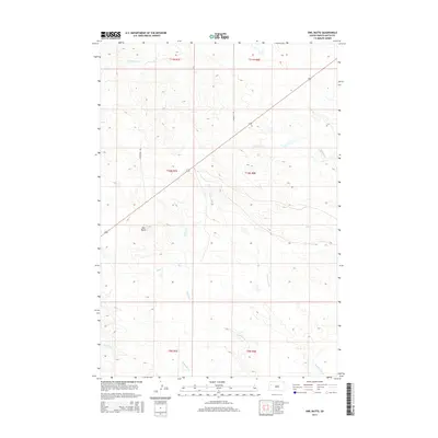
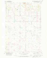
2015 Map of Owl Butte
USGS Topo · Published 2015About this map
Owl Butte rises as a prominent landmark in this section of the western South Dakota plains, surrounded by an intricate network of drainage systems that define the local topography. The map details a landscape carved by numerous watercourses, including the various branches of Elm Creek such as Station Elm Creek and Mud Elm Creek. These ephemeral streams, along with South Sulphur Creek and South Double R Creek, illustrate the complex watershed management necessary in this arid ranching environment.
Find a feature on this map
16 named features on this map. Tap any name to fly to it.
Don’t see what you’re looking for? This feature index may not catch every label — zoom into the map to look around manually.
Map Details
Editions of this 2015 Owl Butte Map
This is the sole edition of this map. No revisions or reprints were ever made.
Other maps of this area
1906 · Vale
USGS Topo · 1:62,500
1913 · Newell
USGS Topo · 1:125,000
1951 · Vale NE
USGS Topo · 1:24,000
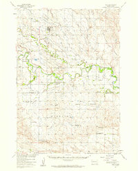
1951 · Vale
USGS Topo · 1:62,500

1953 · Rapid City
USGS Topo · 1:250,000

1957 · Rapid City
USGS Topo · 1:250,000
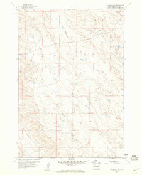
1959 · Volunteer NW
USGS Topo · 1:24,000
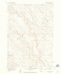
1959 · Volunteer NE
USGS Topo · 1:24,000
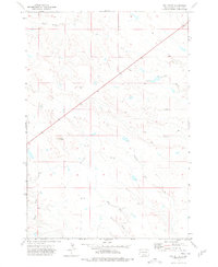
1973 · Owl Butte
USGS Topo · 1:24,000
1977 · Deers Ears Butte South
USGS Topo · 1:24,000