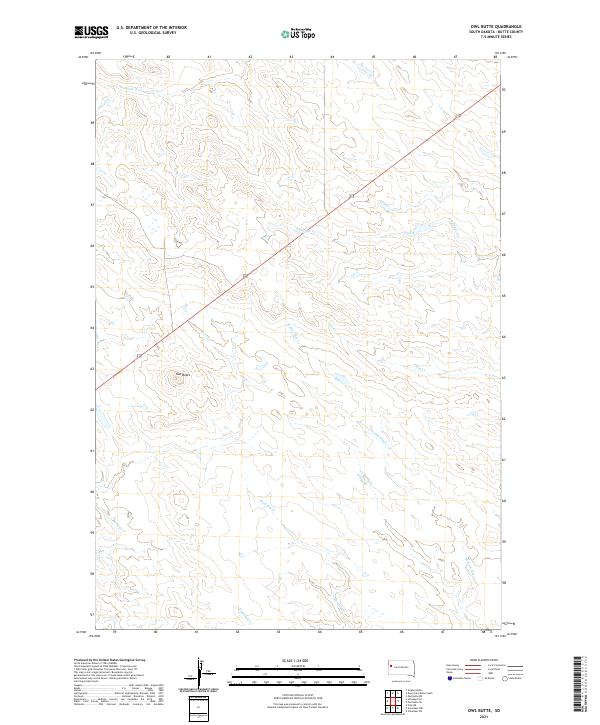
2021 Map of Owl Butte
USGS Topo · Published 2021About this map
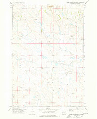
Owl Butte rises as the central landmark in this portion of Butte County, anchoring a landscape defined by the drainage patterns of several intermittent creeks. The terrain is marked by a network of waterways including S Double R Cr and S Sulphur Cr to the north, and the convergence of Station Elm Cr, Elm Cr, and Mud Elm Cr as they flow eastward. U.S. Route 212 cuts diagonally across the northern half of the sheet, providing the primary corridor through these open rangelands. The survey reflects a distinct ranching character, where the township and range lines of t10n r7e and t10n r8e organize a territory largely defined by its natural topography rather than dense settlement.
Find a feature on this map
15 named features on this map. Tap any name to fly to it.
Don’t see what you’re looking for? This feature index may not catch every label — zoom into the map to look around manually.
Map Details
Editions of this 2021 Owl Butte Map
This is the sole edition of this map. No revisions or reprints were ever made.
Other maps of this area

1906 · Vale
USGS Topo · 1:62,500

1913 · Newell
USGS Topo · 1:125,000

1951 · Vale NE
USGS Topo · 1:24,000

1951 · Vale
USGS Topo · 1:62,500

1953 · Rapid City
USGS Topo · 1:250,000

1957 · Rapid City
USGS Topo · 1:250,000
1959 · Volunteer NW
USGS Topo · 1:24,000
1959 · Volunteer NE
USGS Topo · 1:24,000
1973 · Owl Butte
USGS Topo · 1:24,000
1977 · Deers Ears Butte South
USGS Topo · 1:24,000