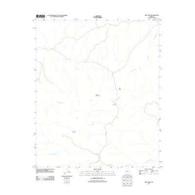
2011 Map of Owl Head
USGS Topo · Published 2011About this map
The Kofa Mountains dominate this arid landscape in La Paz County, where the desert floor is carved by the extensive drainage systems of Alamo Wash and Red Raven Wash. Evidence of the region's mining history is anchored by the Old Alamo Mine Camp in the south-central portion of the quadrangle, reflecting an era of resource extraction in this remote corner of Arizona. Critical water sources for travelers and wildlife are documented through scattered features like Holly Seep, Wilkinson Seep, and High Tank Number Two Spring. The map also identifies Owl Head and the Kofa Monument, providing valuable geographic markers for those researching the land use and protected boundaries of the Kofa Mountains during the early 21st century.
Find a feature on this map
13 named features on this map. Tap any name to fly to it.
Don’t see what you’re looking for? This feature index may not catch every label — zoom into the map to look around manually.
Map Details
Editions of this 2011 Owl Head Map
This is the sole edition of this map. No revisions or reprints were ever made.
Other maps of this area

1942 · Blythe
USGS Topo · 1:250,000

1942 · Vicksburg
USGS Topo · 1:250,000

1954 · Salton Sea
USGS Topo · 1:250,000

1954 · Phoenix
USGS Topo · 1:250,000

1955 · Salton Sea
USGS Topo · 1:250,000

1957 · Phoenix
USGS Topo · 1:250,000

1958 · Phoenix
USGS Topo · 1:250,000

1959 · Salton Sea
USGS Topo · 1:250,000

1960 · Phoenix
USGS Topo · 1:250,000

1962 · Quartzsite
USGS Topo · 1:62,500