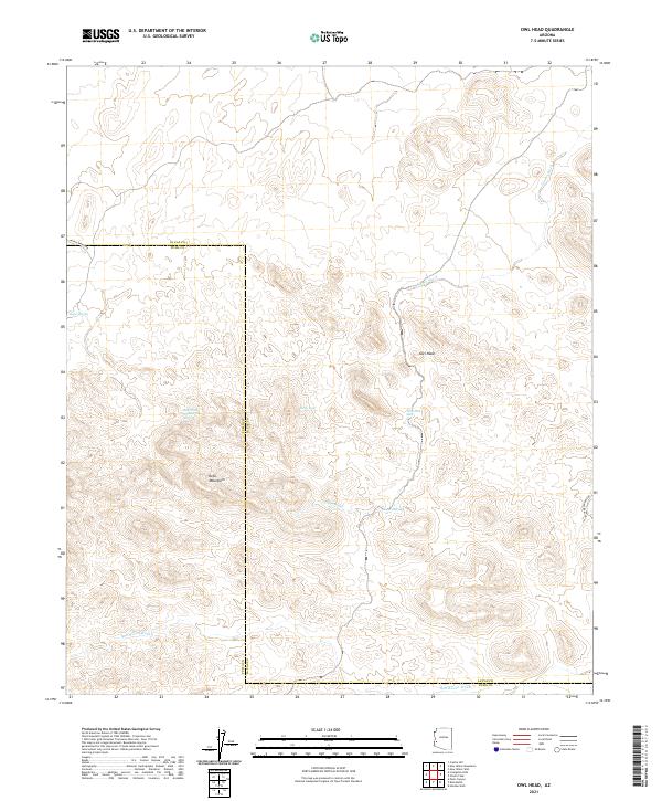
2021 Map of Owl Head
USGS Topo · Published 2021About this map
The Kofa Mountains dominate this arid landscape on the border of La Paz and Yuma Counties. This 2021 topographic study reveals a land defined by water scarcity and relief, where named sources like Alamo Spring, Holly Seep, and High Tank Number Two Spring provided critical sustenance for travelers and miners in earlier eras. The topography is etched by drainage systems including Alamo Wash and Red Raven Wash, which carve through the high ground near the distinctive Owl Head peak.
Find a feature on this map
19 named features on this map. Tap any name to fly to it.
Don’t see what you’re looking for? This feature index may not catch every label — zoom into the map to look around manually.
Map Details
Editions of this 2021 Owl Head Map
This is the sole edition of this map. No revisions or reprints were ever made.
Other maps of this area

1942 · Blythe
USGS Topo · 1:250,000

1942 · Vicksburg
USGS Topo · 1:250,000

1954 · Salton Sea
USGS Topo · 1:250,000

1954 · Phoenix
USGS Topo · 1:250,000

1955 · Salton Sea
USGS Topo · 1:250,000

1957 · Phoenix
USGS Topo · 1:250,000

1958 · Phoenix
USGS Topo · 1:250,000

1959 · Salton Sea
USGS Topo · 1:250,000

1960 · Phoenix
USGS Topo · 1:250,000

1962 · Quartzsite
USGS Topo · 1:62,500