
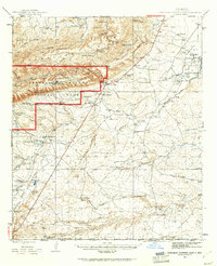
1973 Map of Owl Hills
USGS Topo · Published 1976About this map
The Delaware River meanders across this high-desert terrain on the border of Texas and New Mexico, cutting through a landscape defined by arroyos and isolated hills. Along the northern edge of the map, the New Mexico-Texas state line divides the territory, while the border between Eddy and Culberson Counties marks the local jurisdiction. Evidence of ranching and early energy exploration is scattered throughout the region, with Prewit Ranch and several water features like Mc Williams Tank and Owl Tank providing essential resources in an arid environment.
Find a feature on this map
19 named features on this map. Tap any name to fly to it.
Don’t see what you’re looking for? This feature index may not catch every label — zoom into the map to look around manually.
Map Details
Editions of this 1973 Owl Hills Map
This is the sole edition of this map. No revisions or reprints were ever made.
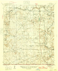
Other maps of this area
1945 · Carlsbad Caverns East
USGS Topo · 1:62,500

1945 · Malaga
USGS Topo · 1:62,500
1946 · Malaga
USGS Topo · 1:62,500

1947 · Carlsbad Caverns East
USGS Topo · 1:62,500

1954 · Carlsbad
USGS Topo · 1:250,000

1954 · Van Horn
USGS Topo · 1:250,000

1958 · Van Horn
USGS Topo · 1:250,000

1958 · Carlsbad
USGS Topo · 1:250,000
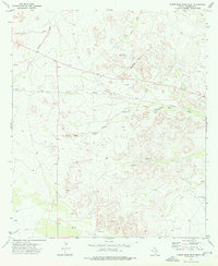
1973 · Screw Bean Draw West
USGS Topo · 1:24,000
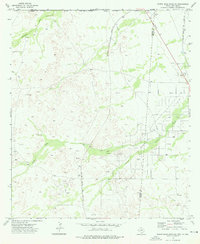
1973 · Screw Bean Draw NE
USGS Topo · 1:24,000