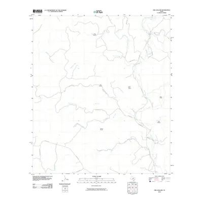
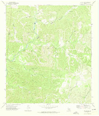
2010 Map of Owl Hollow
USGS Topo · Published 2010About this map
The West Frio River and Dry Frio River define the hydrography of this Real County landscape, where deep drainages and springs have long shaped land use. A network of ranch roads, including Ranch Rd 336 and Ranch Rd 337, connects the numerous hollows and valleys that characterize the terrain. Notable named depressions such as Owl Hollow, Lawson Hollow, and Long Hollow suggest the localized geography of the ranching era, while White Spring indicates the critical importance of water sources in this environment.
Find a feature on this map
27 named features on this map. Tap any name to fly to it.
Don’t see what you’re looking for? This feature index may not catch every label — zoom into the map to look around manually.
Map Details
Editions of this 2010 Owl Hollow Map
This is the sole edition of this map. No revisions or reprints were ever made.
Other maps of this area

1954 · San Antonio
USGS Topo · 1:250,000

1956 · Utopia
USGS Topo · 1:62,500

1957 · San Antonio
USGS Topo · 1:250,000

1957 · York Hollow
USGS Topo · 1:62,500

1964 · Hillcrest Ranch
USGS Topo · 1:24,000

1964 · Circle Bluff
USGS Topo · 1:24,000
1969 · Rio Frio
USGS Topo · 1:24,000
1971 · Leakey
USGS Topo · 1:24,000
1971 · Owl Hollow
USGS Topo · 1:24,000
1971 · Joy Hollow
USGS Topo · 1:24,000