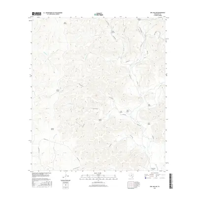
2016 Map of Owl Hollow
USGS Topo · Published 2016About this map
Owl Hollow and the surrounding network of limestone drainage systems characterize this portion of Real County, where the W Frio River and the Dry Frio River carve deep routes through the landscape. The map reveals a ranching-driven infrastructure, centered around private aviation at Lewis Ranch Airport and the larger Real County Airport. Local travel is defined by narrow corridors like Kent Creek Rd and Old Rocksprings Rd, which navigate the steep shifts in elevation between Rain Valley and numerous named hollows. The presence of White Spring and the Cox Xing ford highlights the essential relationship between the sparse road network and the area's vital water sources. This terrain, marked by features such as Plum Hollow and Cherry Hollow, shows a region where the topography dictates the placement of every homestead and ranch road.
Find a feature on this map
38 named features on this map. Tap any name to fly to it.
Don’t see what you’re looking for? This feature index may not catch every label — zoom into the map to look around manually.
Map Details
Editions of this 2016 Owl Hollow Map
This is the sole edition of this map. No revisions or reprints were ever made.
Other maps of this area
1954 · San Antonio
USGS Topo · 1:250,000
1956 · Utopia
USGS Topo · 1:62,500
1957 · San Antonio
USGS Topo · 1:250,000
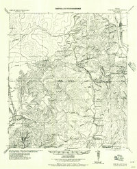
1957 · York Hollow
USGS Topo · 1:62,500
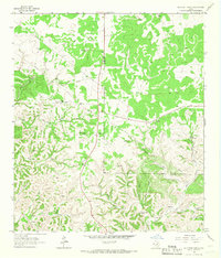
1964 · Hillcrest Ranch
USGS Topo · 1:24,000
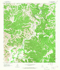
1964 · Circle Bluff
USGS Topo · 1:24,000
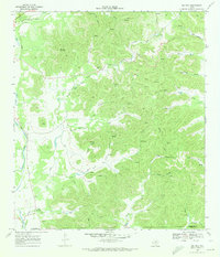
1969 · Rio Frio
USGS Topo · 1:24,000
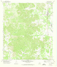
1971 · Leakey
USGS Topo · 1:24,000
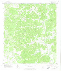
1971 · Owl Hollow
USGS Topo · 1:24,000
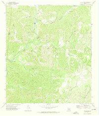
1971 · Joy Hollow
USGS Topo · 1:24,000