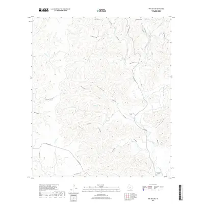
2019 Map of Owl Hollow
USGS Topo · Published 2019About this map
Rain Valley and the branching drainages of the Dry Frio River dominate this portion of the Edwards Plateau. The landscape is defined by a dense network of canyons and limestone breaks, including Owl Hollow, Cherry Hollow, and Holland Hollow. These deep incisions in the terrain create a natural maze where isolated springs like White Spring provided critical water sources in an otherwise arid environment.
Find a feature on this map
42 named features on this map. Tap any name to fly to it.
Don’t see what you’re looking for? This feature index may not catch every label — zoom into the map to look around manually.
Map Details
Editions of this 2019 Owl Hollow Map
This is the sole edition of this map. No revisions or reprints were ever made.
Other maps of this area
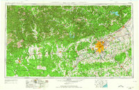
1954 · San Antonio
USGS Topo · 1:250,000
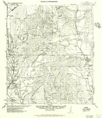
1956 · Utopia
USGS Topo · 1:62,500
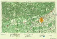
1957 · San Antonio
USGS Topo · 1:250,000
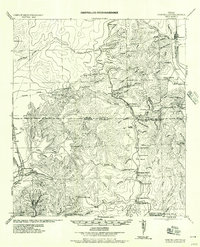
1957 · York Hollow
USGS Topo · 1:62,500
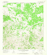
1964 · Hillcrest Ranch
USGS Topo · 1:24,000
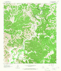
1964 · Circle Bluff
USGS Topo · 1:24,000
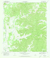
1969 · Rio Frio
USGS Topo · 1:24,000
1971 · Leakey
USGS Topo · 1:24,000
1971 · Owl Hollow
USGS Topo · 1:24,000
1971 · Joy Hollow
USGS Topo · 1:24,000