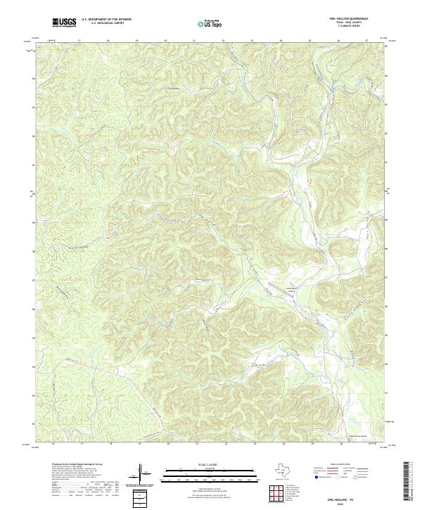
2022 Map of Owl Hollow
USGS Topo · Published 2022About this map
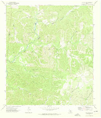
The W Frio River and Dry Frio River carve their paths through this dissected portion of Real County, defining a landscape of deep drainages and named canyons. In the northern reaches, the seasonal flow of Bullhead Cr and the split branches of Short Kent Cr and Long Kent Cr descend into the river valley. The map documents an area where ranching roads and aviation facilities serve as the primary infrastructure for isolated homesteads. Landmarks such as Lewis Ranch Airport and the Real County Airport sit near the major thoroughfares of Ranch Rd 336 and Ranch Rd 337 W. Smaller drainage features like Owl Hollow, Perry Hollow, and the secluded White Spring provide specific reference points for researchers interested in the rural topography and land ownership patterns of this Texas Hill Country region.
Find a feature on this map
38 named features on this map. Tap any name to fly to it.
Don’t see what you’re looking for? This feature index may not catch every label — zoom into the map to look around manually.
Map Details
Editions of this 2022 Owl Hollow Map
This is the sole edition of this map. No revisions or reprints were ever made.
Other maps of this area

1954 · San Antonio
USGS Topo · 1:250,000

1956 · Utopia
USGS Topo · 1:62,500

1957 · San Antonio
USGS Topo · 1:250,000

1957 · York Hollow
USGS Topo · 1:62,500

1964 · Hillcrest Ranch
USGS Topo · 1:24,000

1964 · Circle Bluff
USGS Topo · 1:24,000
1969 · Rio Frio
USGS Topo · 1:24,000
1971 · Leakey
USGS Topo · 1:24,000
1971 · Owl Hollow
USGS Topo · 1:24,000
1971 · Joy Hollow
USGS Topo · 1:24,000