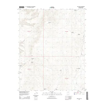
2014 Map of Owl Valley
USGS Topo · Published 2014About this map
Many Sheep Valley and Owl Valley dominate this high-desert terrain within the Navajo Nation in northeastern Arizona. The landscape is characterized by its dramatic drainage networks and topographical prominence, notably Big Mtn and the sheer walls of White Ruin Canyon. The 2014 survey documents a region defined by seasonal watercourses like Red Slide Peak Wash and the East Fork Dinnebito Wash, which cut through the broad expanses of White Hair Valley. Human infrastructure is sparse, restricted primarily to Bureau of Indian Affairs routes such as Bia-41 and Bia-8029. These roads provide the primary access through this remote portion of the Chinle Agency, following the natural contours of the mesas and valleys.
Find a feature on this map
15 named features on this map. Tap any name to fly to it.
Don’t see what you’re looking for? This feature index may not catch every label — zoom into the map to look around manually.
Map Details
Editions of this 2014 Owl Valley Map
This is the sole edition of this map. No revisions or reprints were ever made.
Other maps of this area

1883 · Marsh Pass
USGS Topo · 1:250,000

1892 · Marsh Pass
USGS Topo · 1:250,000

1956 · Marble Canyon
USGS Topo · 1:250,000

1959 · Marble Canyon
USGS Topo · 1:250,000

1961 · Marble Canyon
USGS Topo · 1:250,000
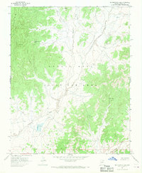
1967 · Big Mountain Dam
USGS Topo · 1:24,000
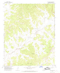
1967 · Coat Spring
USGS Topo · 1:24,000
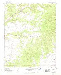
1967 · Rocky Ridge NE
USGS Topo · 1:24,000
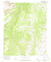
1968 · Owl Valley
USGS Topo · 1:24,000
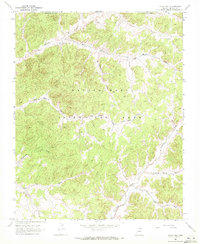
1968 · Yucca Hill
USGS Topo · 1:24,000