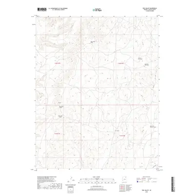
2018 Map of Owl Valley
USGS Topo · Published 2018About this map
Big Mtn rises above a desert landscape defined by complex drainage networks and traditional land use within Navajo County. The topography is marked by deep geographic depressions like White Ruin Canyon and broad expanses such as Many Sheep Valley and White Hair Valley. These names suggest a long history of local habitation and livestock management in the high desert of northern Arizona.
Find a feature on this map
19 named features on this map. Tap any name to fly to it.
Don’t see what you’re looking for? This feature index may not catch every label — zoom into the map to look around manually.
Map Details
Editions of this 2018 Owl Valley Map
This is the sole edition of this map. No revisions or reprints were ever made.
Other maps of this area

1883 · Marsh Pass
USGS Topo · 1:250,000

1892 · Marsh Pass
USGS Topo · 1:250,000

1956 · Marble Canyon
USGS Topo · 1:250,000

1959 · Marble Canyon
USGS Topo · 1:250,000

1961 · Marble Canyon
USGS Topo · 1:250,000
1967 · Big Mountain Dam
USGS Topo · 1:24,000
1967 · Coat Spring
USGS Topo · 1:24,000
1967 · Rocky Ridge NE
USGS Topo · 1:24,000
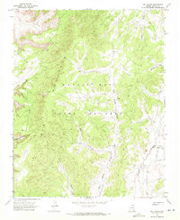
1968 · Owl Valley
USGS Topo · 1:24,000
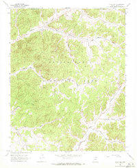
1968 · Yucca Hill
USGS Topo · 1:24,000