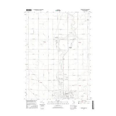
2017 Map of Owosso North
USGS Topo · Published 2017About this map
The Shiawassee River meanders northward through this Shiawassee County landscape, serving as the primary geographical spine between Henderson and the northern outskirts of Owosso. This modern survey provides a detailed view of the rural-to-urban transition, where agricultural drainage systems like the Edgar Drain and Gallagher Drain give way to the residential streets of northern Owosso. Genealogists will find particular value in the documentation of several local burial sites, including the Henderson Cem, Mount Hope Cem, and the distinct Old West Haven Cem. The mapping also highlights the community of Five Points North, a key local junction, and shows the small Wightman Airport tucked into the northeastern corner near N Ridge Rd. The landscape is defined by its rectilinear road grid, which accommodates numerous tributaries like Mickles Cr and Griffus Cr.
Find a feature on this map
106 named features on this map. Tap any name to fly to it.
Don’t see what you’re looking for? This feature index may not catch every label — zoom into the map to look around manually.
Map Details
Editions of this 2017 Owosso North Map
This is the sole edition of this map. No revisions or reprints were ever made.
Other maps of this area

1917 · Chesaning
USGS Topo · 1:62,500

1918 · Elsie
USGS Topo · 1:62,500

1926 · Corunna
USGS Topo · 1:62,500

1928 · Laingsburg
USGS Topo · 1:62,500

1929 · Corunna
USGS Topo · 1:62,500

1943 · Chesaning
USGS Topo · 1:62,500

1943 · Elsie
USGS Topo · 1:62,500

1944 · Laingsburg
USGS Topo · 1:62,500

1944 · Corunna
USGS Topo · 1:62,500

1954 · Midland
USGS Topo · 1:250,000