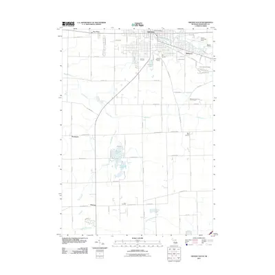
2011 Map of Owosso South
USGS Topo · Published 2011About this map
Owosso and its southern agricultural fringes are defined by the winding paths of the Shiawassee River and the Maple River, which cut through a landscape of structured grid roads and scattered rural settlements. Small communities like Five Points, Middletown, and Pittsburg dot the countryside, while the southern edge of the city shows significant infrastructure including the Owosso Community Airport and the Corunna Hills Golf Course.
Find a feature on this map
72 named features on this map. Tap any name to fly to it.
Don’t see what you’re looking for? This feature index may not catch every label — zoom into the map to look around manually.
Map Details
Editions of this 2011 Owosso South Map
This is the sole edition of this map. No revisions or reprints were ever made.
Other maps of this area
1917 · Chesaning
USGS Topo · 1:62,500
1918 · Elsie
USGS Topo · 1:62,500
1926 · Corunna
USGS Topo · 1:62,500
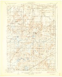
1928 · Laingsburg
USGS Topo · 1:62,500
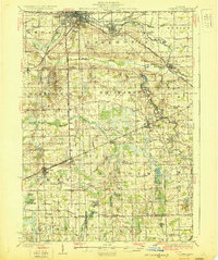
1929 · Corunna
USGS Topo · 1:62,500
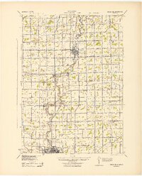
1943 · Chesaning
USGS Topo · 1:62,500
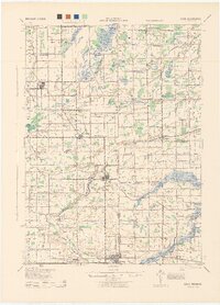
1943 · Elsie
USGS Topo · 1:62,500
1944 · Laingsburg
USGS Topo · 1:62,500
1944 · Corunna
USGS Topo · 1:62,500

1954 · Midland
USGS Topo · 1:250,000