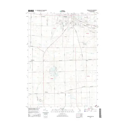
2014 Map of Owosso South
USGS Topo · Published 2014About this map
The Shiawassee River cuts through the northern half of this landscape, anchoring the urban development of Owosso and the neighboring community of Corunna. This 2014 survey documents a region defined by its water systems and rural institutional history. Several significant cemeteries are mapped, including the Shiawassee County Poor Farm Cem and Hillcrest Memorial Gardens, providing essential locations for genealogical research.
Find a feature on this map
100 named features on this map. Tap any name to fly to it.
Don’t see what you’re looking for? This feature index may not catch every label — zoom into the map to look around manually.
Map Details
Editions of this 2014 Owosso South Map
This is the sole edition of this map. No revisions or reprints were ever made.
Other maps of this area

1917 · Chesaning
USGS Topo · 1:62,500

1918 · Elsie
USGS Topo · 1:62,500

1926 · Corunna
USGS Topo · 1:62,500

1928 · Laingsburg
USGS Topo · 1:62,500

1929 · Corunna
USGS Topo · 1:62,500

1943 · Chesaning
USGS Topo · 1:62,500

1943 · Elsie
USGS Topo · 1:62,500

1944 · Laingsburg
USGS Topo · 1:62,500

1944 · Corunna
USGS Topo · 1:62,500

1954 · Midland
USGS Topo · 1:250,000