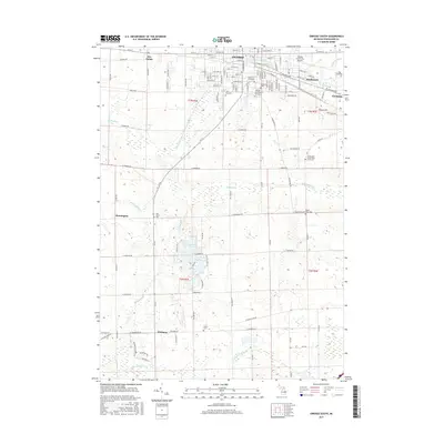
2017 Map of Owosso South
USGS Topo · Published 2017About this map
Owosso and Corunna anchor the northern edge of this Shiawassee County landscape, where the Shiawassee River and Caledonia Drain define the local hydrology. The area is marked by a high density of commemorative sites, including Saint Paul Cem, Oak Hill Cem, and the Shiawassee County Poor Farm Cem. Educational and infrastructure landmarks like the Baker Coll of Owosso and the Owosso Community Airport show the modern development surrounding these established settlements. To the south, the terrain transitions into a more hydrologically complex region featuring Manitou Lake, Cummings Lakes, and the winding path of the Looking Glass River. Small rural clusters such as Bennington and Pittsburg are connected by a grid of country roads, while the Maple River and its associated Maple River Cem further illustrate the importance of watercourses in shaping the county's early settlement patterns and land use.
Find a feature on this map
121 named features on this map. Tap any name to fly to it.
Don’t see what you’re looking for? This feature index may not catch every label — zoom into the map to look around manually.
Map Details
Editions of this 2017 Owosso South Map
This is the sole edition of this map. No revisions or reprints were ever made.
Other maps of this area

1917 · Chesaning
USGS Topo · 1:62,500

1918 · Elsie
USGS Topo · 1:62,500

1926 · Corunna
USGS Topo · 1:62,500

1928 · Laingsburg
USGS Topo · 1:62,500

1929 · Corunna
USGS Topo · 1:62,500

1943 · Chesaning
USGS Topo · 1:62,500

1943 · Elsie
USGS Topo · 1:62,500

1944 · Laingsburg
USGS Topo · 1:62,500

1944 · Corunna
USGS Topo · 1:62,500

1954 · Midland
USGS Topo · 1:250,000