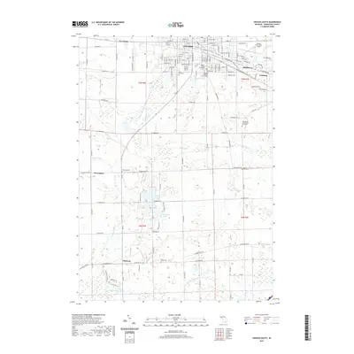
2019 Map of Owosso South
USGS Topo · Published 2019About this map
The Shiawassee River winds through the heart of Owosso and Corunna, anchoring a landscape where civic institutions and historical industrial sites sit alongside evolving residential grids. This 2019 survey captures the southern reaches of the county seat, showing the proximity of Baker College of Owosso and Johnson Controls to the established residential centers. To the south, the terrain transitions into a more rural pattern of wetlands and woodlots, marked by the courses of the Maple River and the Looking Glass River. The map provides significant genealogical value through its documentation of numerous burial grounds, including the Shiawassee County Poor Farm Cem, Saint Paul Cem, and Oak Hill Cem. Smaller settlements like Bennington and Pittsburg serve as local crossroads in this agricultural and drainage-rich region, connected by a network of rural roads such as Simpson Rd and S Delaney Rd.
Find a feature on this map
119 named features on this map. Tap any name to fly to it.
Don’t see what you’re looking for? This feature index may not catch every label — zoom into the map to look around manually.
Map Details
Editions of this 2019 Owosso South Map
This is the sole edition of this map. No revisions or reprints were ever made.
Other maps of this area

1917 · Chesaning
USGS Topo · 1:62,500

1918 · Elsie
USGS Topo · 1:62,500

1926 · Corunna
USGS Topo · 1:62,500

1928 · Laingsburg
USGS Topo · 1:62,500

1929 · Corunna
USGS Topo · 1:62,500

1943 · Chesaning
USGS Topo · 1:62,500

1943 · Elsie
USGS Topo · 1:62,500

1944 · Laingsburg
USGS Topo · 1:62,500

1944 · Corunna
USGS Topo · 1:62,500

1954 · Midland
USGS Topo · 1:250,000