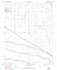
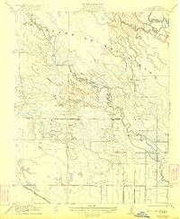
1956 Map of Oxalis
USGS Topo · Published 1984About this map
Dos Palos and the surrounding agricultural landscapes of the San Joaquin Valley are defined by an intricate network of irrigation and drainage infrastructure. This 1956 survey shows the transition of the Central Valley into a highly engineered hydrologic environment, where the Southern Pacific railroad line cuts diagonally across a landscape crisscrossed by the Colony Main Canal, Outside Canal, and the large-scale Delta-Mendota Canal. Local education and industry are rooted in the community at Joint Union HS and the Bryant School.
Find a feature on this map
37 named features on this map. Tap any name to fly to it.
Don’t see what you’re looking for? This feature index may not catch every label — zoom into the map to look around manually.
Map Details
Editions of this 1956 Oxalis Map
4 editions found
Other maps of this area

1913 · Panoche
USGS Topo · 1:125,000

1916 · Santa Rita Bridge
USGS Topo · 1:24,000

1916 · Delta Ranch
USGS Topo · 1:24,000

1918 · Bliss Ranch
USGS Topo · 1:31,680

1920 · Santa Rita Bridge
USGS Topo · 1:31,680

1922 · Oxalis
USGS Topo · 1:31,680

1922 · Santa Rita Bridge
USGS Topo · 1:31,680

1922 · Dos Palos
USGS Topo · 1:31,680

1922 · Pozo Farm
USGS Topo · 1:31,680
1922 · Delta Ranch
USGS Topo · 1:31,680