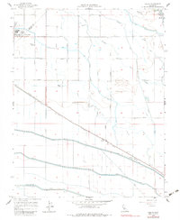
1956 Map of Oxalis
USGS Topo · Published 1983About this map
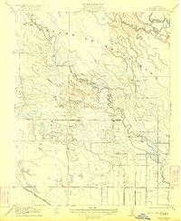
The San Joaquin River defines the northeastern boundary of this landscape, which in the mid-1950s was characterized by a sophisticated network of irrigation and drainage infrastructure. Centered on the community of Dos Palos, the map illustrates how water management shaped the local economy and settlement patterns, with the Delta-Mendota Canal and Outside Canal cutting through the terrain. The presence of the Southern Pacific railroad line, passing through Oxalis, provided the critical transport link for agricultural goods.
Find a feature on this map
35 named features on this map. Tap any name to fly to it.
Don’t see what you’re looking for? This feature index may not catch every label — zoom into the map to look around manually.
Map Details
Editions of this 1956 Oxalis Map
4 editions found
Other maps of this area

1913 · Panoche
USGS Topo · 1:125,000

1916 · Santa Rita Bridge
USGS Topo · 1:24,000

1916 · Delta Ranch
USGS Topo · 1:24,000

1918 · Bliss Ranch
USGS Topo · 1:31,680

1920 · Santa Rita Bridge
USGS Topo · 1:31,680

1922 · Oxalis
USGS Topo · 1:31,680

1922 · Santa Rita Bridge
USGS Topo · 1:31,680

1922 · Dos Palos
USGS Topo · 1:31,680

1922 · Pozo Farm
USGS Topo · 1:31,680
1922 · Delta Ranch
USGS Topo · 1:31,680