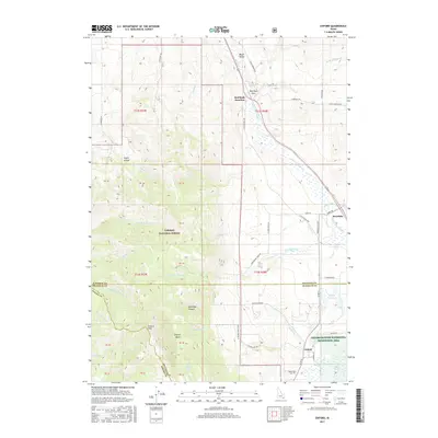
2017 Map of Oxford
USGS Topo · Published 2017About this map
Oxford sits at the southern edge of this Idaho landscape, nestled between the high elevations of Oxford Peak and the critical wetlands of the Oxford Slough Waterfowl Production Area. The geography is defined by a north-south corridor through Marsh Valley, where the waters of Marsh Creek and the Swan Lake Slough drain the surrounding heights of the Caribou National Forest. This 2017 survey details a rural economy tied to the land and its hydrology, evidenced by the Oxford Reservoir and numerous named drainages like Gooseberry Creek and Chicken Creek. Near the northern boundary, the settlement of Swanlake and the geologic landmark of Red Rock Pass mark a historic transit point through the mountains. Local history is anchored by the Oxford Cemetery and a network of county roads like County Road D1 and the Nordick Cutoff that connect these dispersed mountain communities.
Find a feature on this map
65 named features on this map. Tap any name to fly to it.
Don’t see what you’re looking for? This feature index may not catch every label — zoom into the map to look around manually.
Map Details
Editions of this 2017 Oxford Map
This is the sole edition of this map. No revisions or reprints were ever made.
Other maps of this area
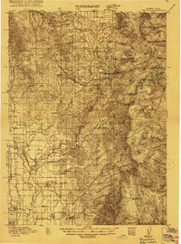
1915 · Preston
USGS Topo · 1:96,000
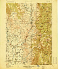
1918 · Preston
USGS Topo · 1:125,000

1954 · Pocatello
USGS Topo · 1:250,000

1955 · Preston
USGS Topo · 1:250,000

1958 · Pocatello
USGS Topo · 1:250,000

1958 · Preston
USGS Topo · 1:250,000

1962 · Preston
USGS Topo · 1:250,000
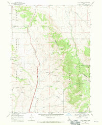
1968 · Malad Summit
USGS Topo · 1:24,000
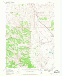
1968 · Oxford
USGS Topo · 1:24,000
1968 · Downey West
USGS Topo · 1:24,000