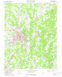
1981 Map of Oxford
USGS Topo · Published 1981About this map
The Granville County seat of Oxford serves as the hub of this 1981 survey, showing a landscape defined by its institutional and educational foundations. The map reveals the layout of the Central Orphanage and the Agriculture Experimental Station, alongside established schools like the Mary Potter Sch and Webb High Sch. This era of the city's development is recorded just as the Southern Railroad and Seaboard Coast Line Railroad still cut through the terrain, connecting outlying settlements such as Huntsboro and Dickerson.
Find a feature on this map
67 named features on this map. Tap any name to fly to it.
Don’t see what you’re looking for? This feature index may not catch every label — zoom into the map to look around manually.
Map Details
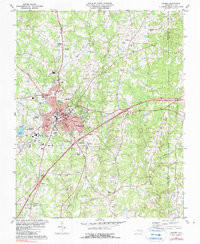
Editions of this 1981 Oxford Map
2 editions found
Other maps of this area

1943 · Creedmoor
USGS Topo · 1:62,500

1944 · Creedmoor
USGS Topo · 1:62,500

1953 · Oxford
USGS Topo · 1:62,500

1953 · Greensboro
USGS Topo · 1:250,000

1954 · Greensboro
USGS Topo · 1:250,000

1962 · Greensboro
USGS Topo · 1:250,000

1966 · Greensboro
USGS Topo · 1:250,000

1966 · Oxford
USGS Topo · 1:62,500
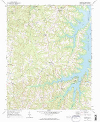
1970 · Townsville
USGS Topo · 1:24,000

1970 · Henderson
USGS Topo · 1:24,000