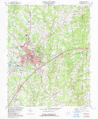
1981 Map of Oxford
USGS Topo · Published 1990About this map
The county seat of Oxford serves as the hub of this Granville County landscape, where the confluence of the Southern and Seaboard Coast Line railroads historically shaped the town's development. By the early 1980s, the community's infrastructure was well-established, featuring institutions such as the Granville Hospital and several educational landmarks including Webb High Sch, West Oxford Sch, and Mary Potter Sch. The surrounding countryside is dotted with long-standing congregations, from Hatcher Grove Ch in the north to Knotts Grove Ch and Shady Grove Ch toward the south.
Find a feature on this map
42 named features on this map. Tap any name to fly to it.
Don’t see what you’re looking for? This feature index may not catch every label — zoom into the map to look around manually.
Map Details
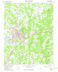
Editions of this 1981 Oxford Map
2 editions found
Other maps of this area

1943 · Creedmoor
USGS Topo · 1:62,500

1944 · Creedmoor
USGS Topo · 1:62,500

1953 · Oxford
USGS Topo · 1:62,500

1953 · Greensboro
USGS Topo · 1:250,000

1954 · Greensboro
USGS Topo · 1:250,000

1962 · Greensboro
USGS Topo · 1:250,000

1966 · Greensboro
USGS Topo · 1:250,000

1966 · Oxford
USGS Topo · 1:62,500
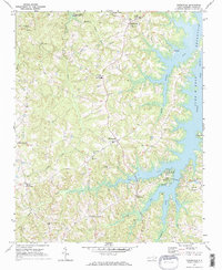
1970 · Townsville
USGS Topo · 1:24,000

1970 · Henderson
USGS Topo · 1:24,000