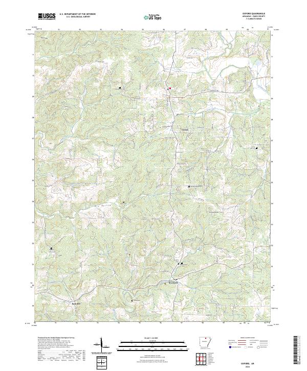
2024 Map of Oxford
USGS Topo · Published 2024About this map
Oxford sits atop a plateau in the Ozark foothills, serving as a focal point for a network of winding county roads like Wideman Rd and Cardinal Rd. This Izard County landscape is defined by its deep drainages, including Dry Hollow and the valley of Sandy Creek, which carves through the central terrain before meeting the Strawberry River in the northeast. The settlement pattern here is characterized by small, dispersed communities and a high density of family and community burial grounds, such as Campground Cem and Goodrich Cem, which provide significant anchor points for local genealogical research.
Find a feature on this map
73 named features on this map. Tap any name to fly to it.
Don’t see what you’re looking for? This feature index may not catch every label — zoom into the map to look around manually.
Map Details
Editions of this 2024 Oxford Map
This is the sole edition of this map. No revisions or reprints were ever made.
Other maps of this area

1890 · Mountain Home
USGS Topo · 1:125,000

1891 · Mountain Home
USGS Topo · 1:125,000

1894 · Mountain Home
USGS Topo · 1:125,000

1945 · Harrison
USGS Topo · 1:250,000

1949 · Harrison
USGS Topo · 1:250,000

1950 · Salem
USGS Topo · 1:62,500

1951 · Salem
USGS Topo · 1:62,500

1951 · Melbourne
USGS Topo · 1:62,500

1954 · Harrison
USGS Topo · 1:250,000

1957 · Poplar Bluff
USGS Topo · 1:250,000