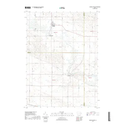
2018 Map of Oxford Junction
USGS Topo · Published 2018About this map
The Wapsipinicon River winds through this eastern Iowa landscape, anchoring a series of small settlements and natural wetlands at the intersections of Jones, Cedar, and Clinton counties. In the northern reaches, Oxford Junction serves as the primary population center, situated just north of the smaller community of Oxford Mills and the expansive waters of West Goose Lake. Further downstream, the village of Massillon is positioned along a sharp bend in the river, surrounded by several family and community burial sites including Massillon Cem and Brink Cem. The terrain is defined by its water-rich geography, featuring East Goose Lake, Bullhead Lake, and numerous tributaries like Plum Cr and Yankee Run. This document provides a clear view of the rural road network and township divisions that have organized the region since its early settlement.
Find a feature on this map
42 named features on this map. Tap any name to fly to it.
Don’t see what you’re looking for? This feature index may not catch every label — zoom into the map to look around manually.
Map Details
Editions of this 2018 Oxford Junction Map
This is the sole edition of this map. No revisions or reprints were ever made.
Other maps of this area
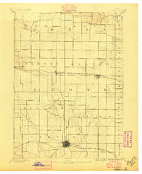
1889 · Tipton
USGS Topo · 1:62,500
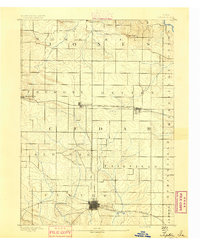
1890 · Tipton
USGS Topo · 1:62,500
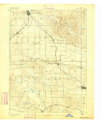
1891 · Monticello
USGS Topo · 1:62,500
1891 · Baldwin
USGS Topo · 1:62,500
1892 · Wheatland
USGS Topo · 1:62,500
1894 · Wheatland
USGS Topo · 1:62,500
1900 · Anamosa
USGS Topo · 1:125,000
1901 · Peosta
USGS Topo · 1:125,000
1901 · Rock Island
USGS Topo · 1:125,000
1901 · Stanwood
USGS Topo · 1:125,000