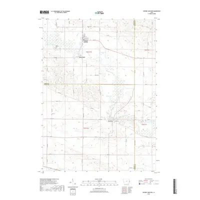
2022 Map of Oxford Junction
USGS Topo · Published 2022About this map
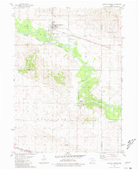
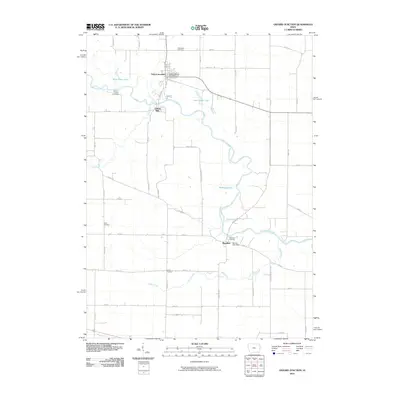
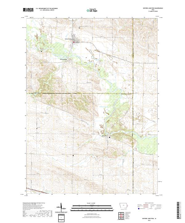
Oxford Junction serves as a primary settlement in this eastern Iowa landscape, situated along the northern banks of the Wapsipinicon River. The river winds through the terrain, creating a complex series of wetlands and oxbow features including West Goose Lake, East Goose Lake, and Bullhead Lake. This 2022 survey details the enduring agricultural layout of the region, where numerous small cemeteries such as Mayflower Cem, Brink Cem, and Center Cem are scattered across the township lines of Jones, Cedar, and Clinton counties. Further downstream, the smaller hamlets of Oxford Mills and Massillon represent the historic riverfront hubs of the area. The map illustrates how drainage systems like Plum Cr and Yankee Run shape the local topography as they feed toward the larger river basin.
Find a feature on this map
64 named features on this map. Tap any name to fly to it.
Don’t see what you’re looking for? This feature index may not catch every label — zoom into the map to look around manually.
Map Details
Editions of this 2022 Oxford Junction Map
This is the sole edition of this map. No revisions or reprints were ever made.
Historical Maps of Oxford Junction Through Time
6 maps found