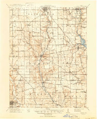
1911 Map of Oxford
USGS Topo · Published 1950About this map
Miami University and Western College anchor the southwestern corner of this landscape, where the academic environment of Oxford meets the agricultural heartland of Butler and Preble counties. The terrain is defined by a dense network of country schools and turnpikes, including the West Turnpike and Hamilton Turnpike, which linked emerging towns like Eaton and Camden. Along the winding course of Sevenmile Creek, industry and transit are visible through features like Halderman Mill and several named crossings such as Shallow Ford.
Find a feature on this map
98 named features on this map. Tap any name to fly to it.
Don’t see what you’re looking for? This feature index may not catch every label — zoom into the map to look around manually.
Map Details
Editions of this 1911 Oxford Map
This is the sole edition of this map. No revisions or reprints were ever made.
Other maps of this area
1904 · Mason
USGS Topo · 1:62,500
1905 · Brookville
USGS Topo · 1:62,500
1906 · Mason
USGS Topo · 1:62,500
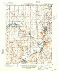
1908 · Miamisburg
USGS Topo · 1:62,500
1915 · New Paris
USGS Topo · 1:48,000
1915 · College Corner
USGS Topo · 1:48,000
1915 · Harrison
USGS Topo · 1:48,000
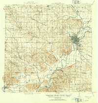
1915 · Hamilton
USGS Topo · 1:62,500
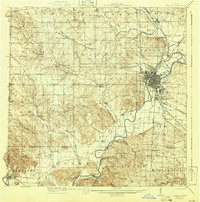
1917 · Hamilton
USGS Topo · 1:62,500
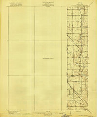
1918 · College Corner
USGS Topo · 1:62,500