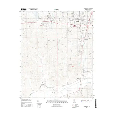
2015 Map of Oxford South
USGS Topo · Published 2015About this map
The Univ of Mississippi Main Campus and the southern outskirts of Oxford anchor this 2015 survey, illustrating the modern expansion of this historic university town. The landscape transition from urban corridors to the rural Lafayette County countryside is marked by several outlying communities including Alesville, Woodlawn, and Ridgeland. History is visible in the memorial grounds of the Confederate Cem near the heart of campus, while further south, the settlement of Taylor sits near the winding course of the Yocona River. The terrain is defined by low ridges like Thacker Mtn and the distinct parallel basins of West Goose Valley and East Goose Valley. Local transit and infrastructure are represented by landmarks such as Market Bridge and the Industrial Park, reflecting the evolving economy of the region as it spreads south toward Markette.
Find a feature on this map
168 named features on this map. Tap any name to fly to it.
Don’t see what you’re looking for? This feature index may not catch every label — zoom into the map to look around manually.
Map Details
Editions of this 2015 Oxford South Map
This is the sole edition of this map. No revisions or reprints were ever made.
Other maps of this area

1940 · Oxford
USGS Topo · 1:62,500

1942 · Denmark
USGS Topo · 1:62,500

1943 · Denmark
USGS Topo · 1:62,500

1943 · Oxford
USGS Topo · 1:62,500

1954 · Water Valley
USGS Topo · 1:62,500

1954 · Water Valley West
USGS Topo · 1:24,000

1955 · Water Valley
USGS Topo · 1:62,500

1956 · Tupelo
USGS Topo · 1:250,000

1958 · Tupelo
USGS Topo · 1:250,000

1972 · Paris
USGS Topo · 1:24,000